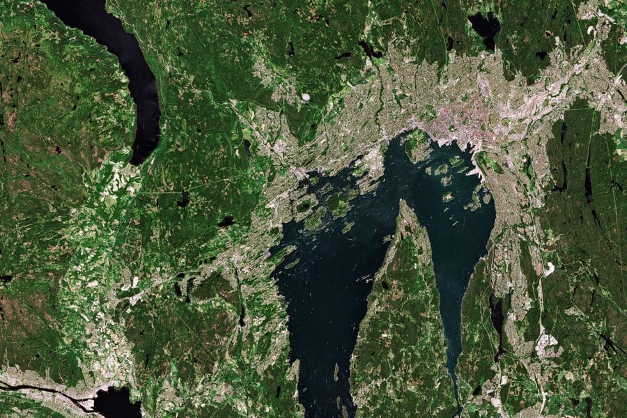
The smoke detector warns of fire. The satellite warns of fire danger.
Whoever responds sees what the site looks like before they arrive. And areas at risk get a warning before anything has happened.
Contains modified Copernicus Sentinel-2 data · ©ESA
When something happens
Before anyone sets foot on the ground.
When the alarm goes off, the people on their way get a fresh satellite image of the site. They know what it looks like before they arrive: the terrain, the way in, and what might be in the way.
- The terrain
Is the road in passable? What lies between the car and the house?
- The conditions
How dry has it been, and which way is the wind blowing?
- The recent
The image is from the last few days, not from when the map was drawn.
All the time
Areas that are watched all the time.
The areas where your network is are continuously monitored for fire danger, flooding and drought. So the warning can go out before something happens, not after.
- Fire danger
A warning when it's dry and windy where you are, not just in the county.
- Flooding
A warning when the water is coming, for the places your network covers.
- Through cloud and darkness
Radar satellites see the ground even when cameras can't. In Norway, that's most of the year.
- What's changed
Flooding, snow, ice, landslides. The things no map shows, because they happened this week.
The data comes from Copernicus, the European Earth observation programme. Varsko works without it. It works considerably better with it.
What the satellites give us
Four sources, one picture of the site.
Everything comes from Copernicus, the European Earth observation programme, which is open and covers all of Europe.
- Sentinel-1
Radar. Sees the ground through cloud and in darkness, which in Norway is most of the year.
- Sentinel-2
Optical, ten-metre resolution. Vegetation, moisture, and how fast a fire could spread.
- Change detection
Two images of the same place, days apart. What's different: flooding, snow, ice, landslides.
- The Copernicus services
EFFIS for fire danger, EFAS for flooding, SWI for soil moisture. Warnings for whole areas, updated continuously.
We consume this data. We don't produce it. That's why Varsko works the same across the Nordics with no adaptation per country.
Why it matters
A sensor says something has happened. It says nothing about what the responder is walking into.
- Traditional sensor
Tells you there's smoke. Nothing more.
- With satellite
Is the terrain passable? Is it dry? What changed this week? Answered before anyone sets off.
Want to be in the first group?
We're testing with a few people first. Leave your email and we'll show you how the alarm works along the way, and tell you when the test opens.
You'll get a few emails from us about how the alarm works, and a message when the test opens. How we handle your email.
Thanks. We've sent you an email. Confirm it and you're on the list.




 Norsk
 English